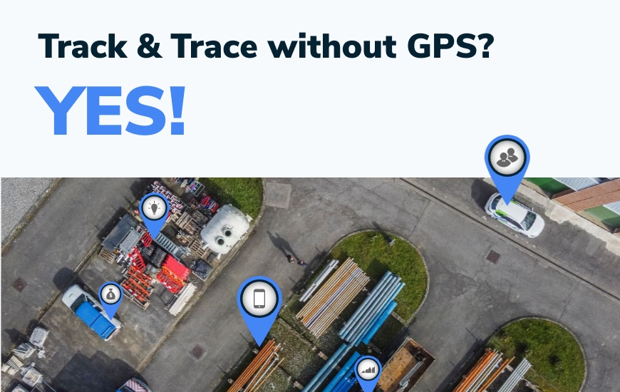
When positioning assets on a map in a track & trace application it is easy to forget that there are many different technologies besides GPS to determine an asset’s location. Different applications may require a more creative approach, depending on needs and requirements.
Advantages and disadvantages of alternative technologies for positioning assets
GPS (“Global Positioning System”) has evolved significantly since it was first launched for military use by the US government in the ‘70s. Many other operators now operate a similar satellite constellation (such as GLONASS, GALILEO and BEIDOU) and GPS receivers can now efficiently determine their location anywhere on the globe with impressive accuracy. However, GPS chipsets still require a relatively high amount of energy to achieve this, and in modern IoT applications, as well as more traditional track & trace, this is often a design constraint and operational problem.
There are many other methods to determine an asset’s position on a map, and they all have their advantages and disadvantages. While this is good news for IoT providers and end users, it also means that it can be challenging to choose the right technology for a specific application. In track & trace and IoT applications there are four primary considerations when choosing a positioning technology: energy consumption, coverage/availability, accuracy and processing time.
In general, there are active and passive methods to determine the location of an asset. Active methods require electrical power (which is typically provided by a battery and therefore finite) since the position is determined on the device, but also often yield a more accurate position. Examples of active positioning methods are GPS, beacon detection or even image recognition. Passive methods don’t require power (at least not on the device) but tend to be less accurate. Examples of passive positioning methods are network triangulation and proximity.
Let’s evaluate some commonly used positioning methods in modern IoT applications and examine their advantages and disadvantages. There are many varieties of the described positioning methods, and it is impossible to cover every single one. There are also many other methods, so this is not intended to be an exhaustive list.
GPS
GPS chipsets receive low-power transmissions from satellites in earth’s orbit and calculate their position by comparing how long it took to receive the signal from each satellite (which tells the receiver how far away the satellite was when it transmitted the signal). To achieve this, a GPS chipset must know where the satellites themselves are. This information (almanac) is transmitted with a reasonable positioning accuracy. A GPS chipset therefore needs to listen for some time (often several minutes) to determine an accurate position. The longer it listens, the better the accuracy can get. Based on the four primary considerations, GPS positioning ranks as follows:
Energy Consumption:
Poor. The device needs to actively listen for prolonged periods to receive and evaluate signals from dozens of satellites, continuously evaluate the signals and perform complex calculations to determine a position with reasonable accuracy.
Coverage / Availability:
- Great in outdoors situations. Especially multi-constellation chipsets can theoretically receive signals from up to 115 satellites (32 GPS, 24 GLONASS, 24 GALILEO and 35 BEIDOU) that are in earth’s orbit and cover the entire planet’s surface. Naturally these aren’t always visible, and some are not even active but serve as backup, but on a typical location on the globe a receiver should be able to receive a signal from dozens of satellites at any given time.
- Very poor in indoor situations. GPS signals are very weak (equivalent to a 60W lightbulb viewed from more than 20.000km away!) and cannot travel through solid objects. So inside buildings or underground GPS chipsets are unable to receive signals to determine a position.
Accuracy:
- Good. Typically, a GPS receiver in good conditions can determine a position with <10m accuracy within a minute of powering up. After a few minutes, accuracy of <3m (or <1m with multi-constellation) can be achieved.
- Susceptible to interference. The very low power also means that GPS signals are very sensitive to interference by other RF sources. Modern GPS chipsets are very good at filtering bad signals, but interference can also overpower the real GPS signals which makes it impossible for a GPS receiver to determine a position (= jamming).
- Great when augmented. GPS chipsets performance can be improved by feeding them with data to correct the GPS satellite signals. With extreme augmentation (RTK correction for example) the position can be determined within a few centimeters, but this requires premium components and a constant feed of correction data from land-based infrastructure.
Processing Time:
- Poor upon first startup. If the GPS receiver is only activated when a position needs to be determined (often to save battery power) it will need some time to receive satellite almanac information and process the incoming signals. This can take a few minutes or more, depending on the expected accuracy.
- Great during continuous operation. In track & trace applications the GPS chipset is typically kept active as long as the asset is active. The GPS chipset will continuously receive and process GPS satellite signals, and instantly output a pretty accurate position when required by the asset tracking device.
Beacon Detection
Asset tracking devices can be equipped with components to receive signals from “beacons” (= stationary small typically battery powered transmitters with a known location) to determine their location. A beacon typically transmits a unique identifier at a fixed interval. Sometimes additional information is made available in the transmissions to help a nearby tracking device get more information about that location. While beacons typically transmit their information using an RF technology like Bluetooth or Wifi, optical or auditory beacons are also possible, using light (visible or IR/UV) or sound signals (potentially outside human hearing range) instead. Passive beacon methods are also possible, placing QR codes or NFC tags with location information which can be scanned by a handheld device to determine a location.
In track & trace, the typical use case is that the asset tracker activates its listening components at relevant times (for example a fixed interval or when an event is detected and a position must be determined) and ‘scans’ for transmissions from nearby beacons. When it has received the transmissions the listening components can be powered down and the device can send the relevant beacon identifier to a platform (which knows the location of that beacon) or even determine its location based on the information in the transmission.
Energy Consumption:
Good. The tracking device only needs to perform a short scan (merely seconds, depending on the beacon transmission interval) to receive one or two transmissions from nearby beacons because a single transmission will contain enough information to determine a position. No complex processing of the transmissions is needed. This can save a lot of power.
Coverage / Availability:
Requires infrastructure. A user needs to place beacons at all locations where positioning is required, and sufficient beacons must be installed to achieve the desired coverage and accuracy. For example, beacons must be installed in warehouses and job sites where the assets are expecting to be positioned and where their location is relevant. However, since the user controls the position of the beacons they can be positioned indoors and outdoors to ensure seamless indoor/outdoor operation. Good operators provide beacons suited for indoor and outdoor applications, and battery powered beacons enable maintenance-free installation without the need for power or other infrastructure.
Accuracy:
Great. When beacons have a limited range, the asset must be in close vicinity of the beacon. Since the beacon’s location can be determined with very high accuracy, the asset’s location is also very accurate when it ‘detects’ the beacon.
Processing Time:
Good. A tracking device doesn’t need to perform complex calculations to interpret the signal, and often just forwards the beacon info to the platform without further processing. This can happen nearly instantly depending on network availability. Even in situations where the device does some post-processing of the signal(s) such as triangulation, the processing effort and time is typically limited.
Note: Beacon-based positioning can also work in reverse, where the moving asset tracker functions as a beacon and fixed local infrastructure scans for devices and calculates their position. This method is more suited for asset management and is therefore not discussed in detail in this article.
Network triangulation
It is also possible to determine an asset’s location without any effort from the asset tracker. In situations where a wide-area network is used, such as GSM or Sigfox, the transmitted signal is often received by several receivers in the area. A network operator or integrator knows the location of the receivers and can calculate an approximate position of the device by comparing the signals and triangulating a position based on the known location of the receivers. This can be achieved using time-of-flight or signal strength calculations. Commercial LP-WAN operators like Sigfox or KPN (LoRaWAN provider in The Netherlands) can offer this service and typically perform the calculations themselves and make the calculated position (and an indication of accuracy) available after processing the data.
Energy Consumption:
Great. The asset tracker does not use any power to determine a position or scan for location information.
Coverage / Availability:
Good. The positioning service is typically available wherever a device can have connectivity. This means that if the device is in range of its network, it can be positioned to some degree of accuracy
Accuracy:
- Fair on wide-area networks. The accuracy of the position depends on the density of the network operator’s infrastructure (how many receivers can ‘hear’ the device) and local interference. In some cases, an accuracy of <100m can be achieved, however in rural areas the accuracy can drop to several kilometers (the range of a single receiver).
- Great if transmitter/receiver range is limited. If the transmitter and receiver have a limited range (for example using Bluetooth) then the position is also more accurate, since the asset cannot be far away from the receiver. However, this requires a dense network of receivers.
Processing Time:
Good. Processing power on a platform is typically much greater than a single asset tracker, so the calculations can be performed quickly. It is however to be expected that there is a (small) delay between receiving the signal from a tracker and knowing its position.
To conclude
Good operators like Suivo tend to combine the above methods on their asset trackers to find a good balance between accuracy, cost and power consumption. A Suivo Hydrogen LP-WAN tracker can intelligently combine beacon technology with GPS (activating GPS only when needed) and the platform can even fall back on network positioning or assign a position by proximity if active positioning is not available or not accurate enough… A Hydrogen LTE-M tracker can even be instructed by the platform to favor a certain technology or vary its accuracy parameters based on operational conditions and customer preferences.
For more information and a demonstration, contact Suivo and schedule an appointment with one of our Product Experts.
Also read: Choosing a GPS Tracker


